
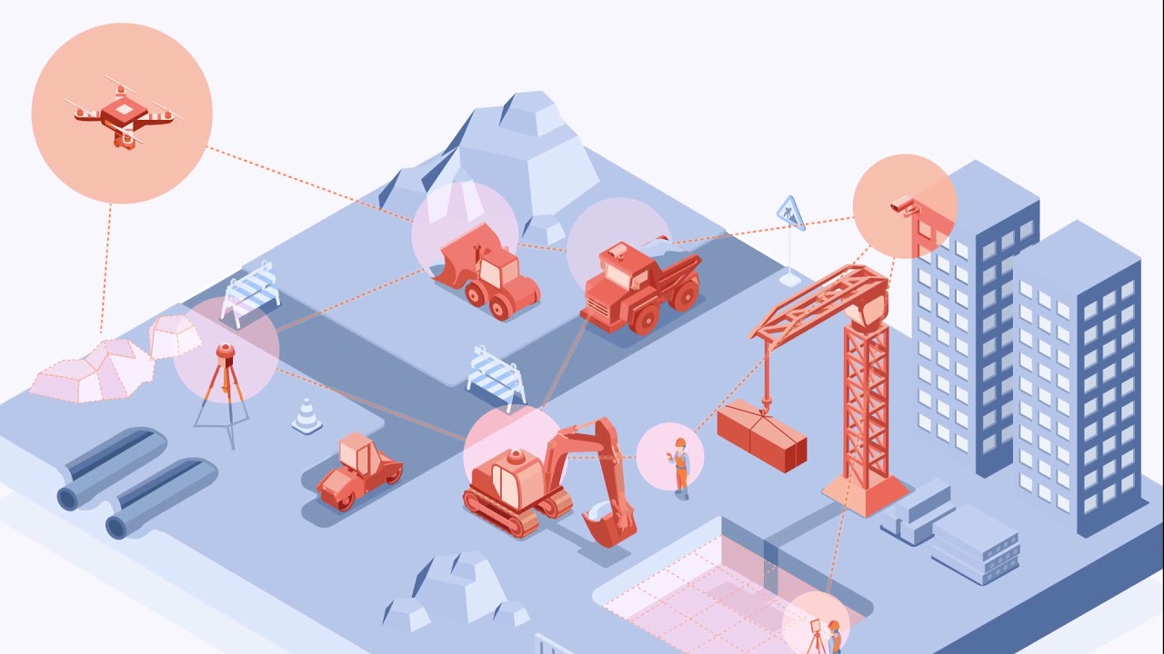
Take control of your worksite
Recurring drone mapping data such as ortho maps help to keep track of site progress and may prevent costly mistakes from happening. Internal and external communication is improved by sharing progress between stakeholders. Improved communication and visualization tools help to reduce the amount of field visits.
Our website is transitioning to ARKANCE.world. All local ARKANCE offices can help you with Pointscene and other Be.Smart software.
DEMO REQUEST
See what Pointscene can do for you!
By requesting a demo, you can get a free demo account where you can test Pointscene features with existing project data. Tell a little about yourself and we'll connect you with our Pointscene experts for a demo meeting!